Wednesday, June 5, 2024
9:00 AM
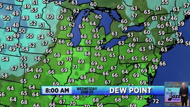
Some of the “stickiest” air (dew point 70°F+) has moved in to the Midwest this morning.

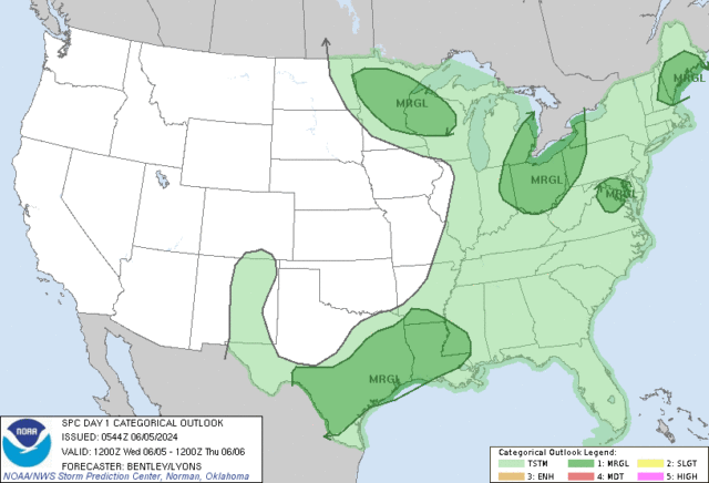
With a cold front moving in toward sunset Wednesday, thunderstorms will become more numerous toward evening. SPC has included us in a marginal risk for severe thunderstorms.

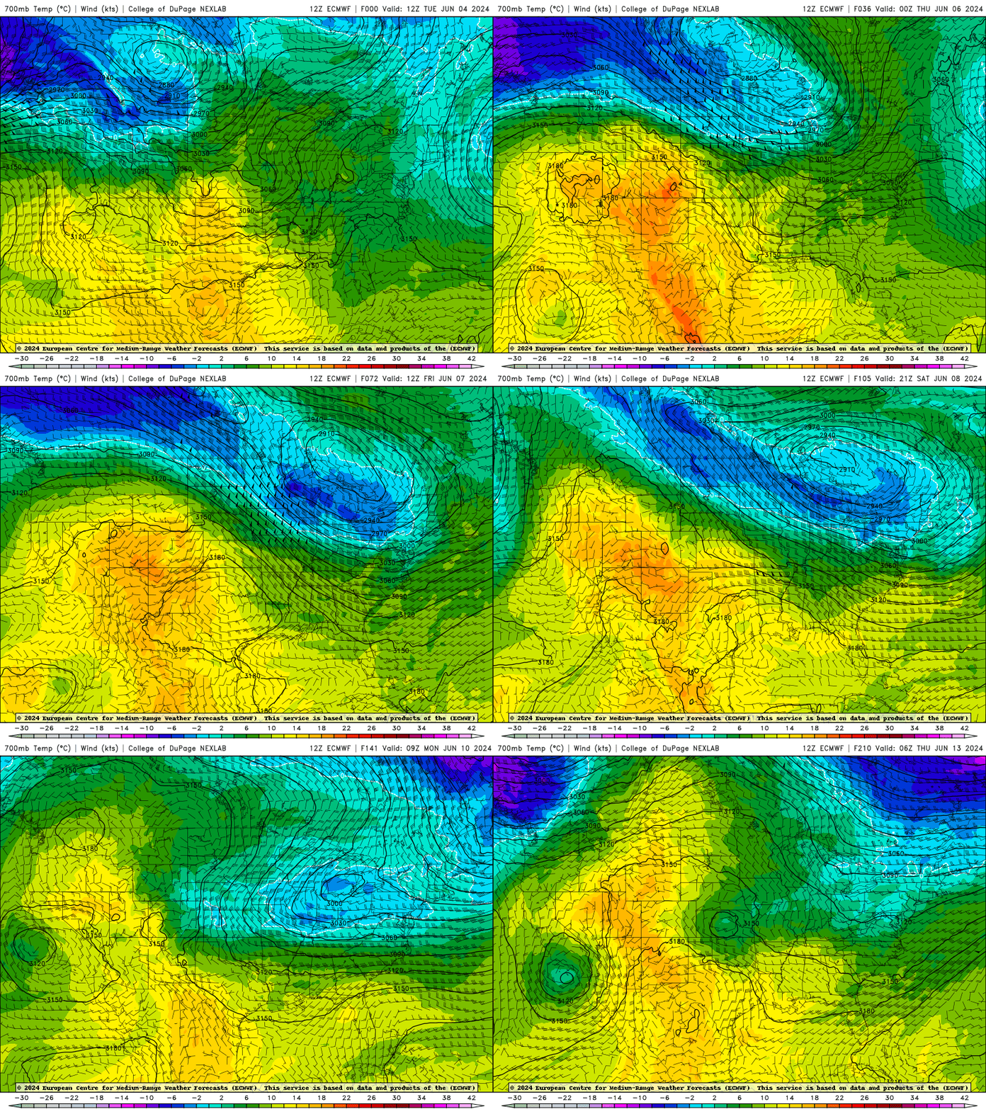
The overall pattern, however, continues to be a cool and unsettled one beyond today. Overall, this pattern seems to hang on through the middle of next week at the very least.
