Year: 2024
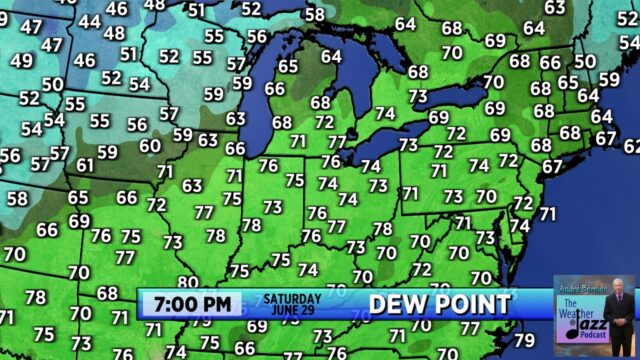
Early last weekend, the dew points were as high as they typically get in August:
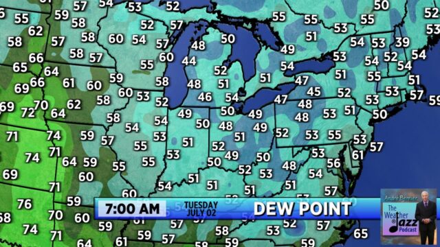
Thankfully, all of that oppressive air moved out on Sunday night. This is what the drier air looked like this morning. Ahhhhhhhhh!
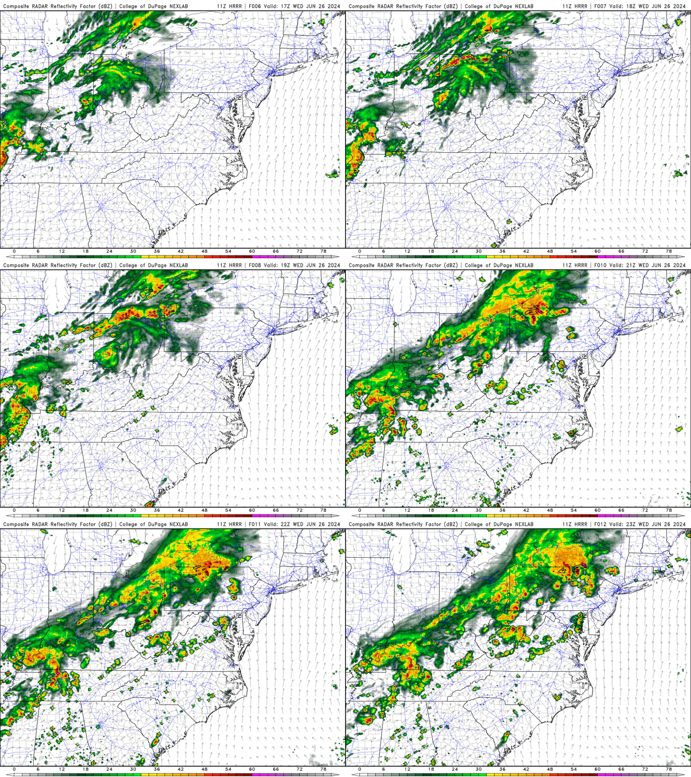
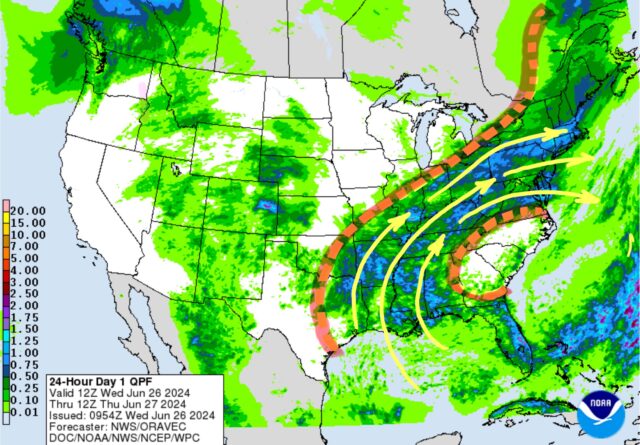
Strong downpours are likely to develop between noon and 6 p.m. Wednesday, especially in the northern counties of Ohio:
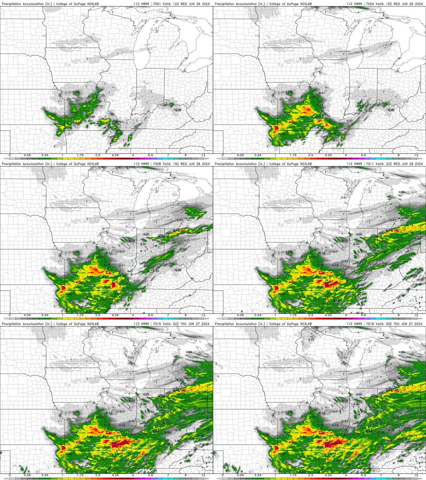
Rainfall in the 1-2” category could easily flood low-lying areas and near rivers and creeks .NEVER drive into a road that disappears in water. You don’t know how deep that water is.
Issued Tuesday, June 25, 2024
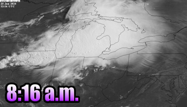
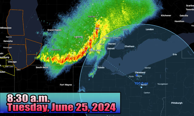
8:30 a.m.
This is the line of storms whose high clouds are getting stripped off by strong winds aloft and getting pulled into Ohio after a pretty sunrise.
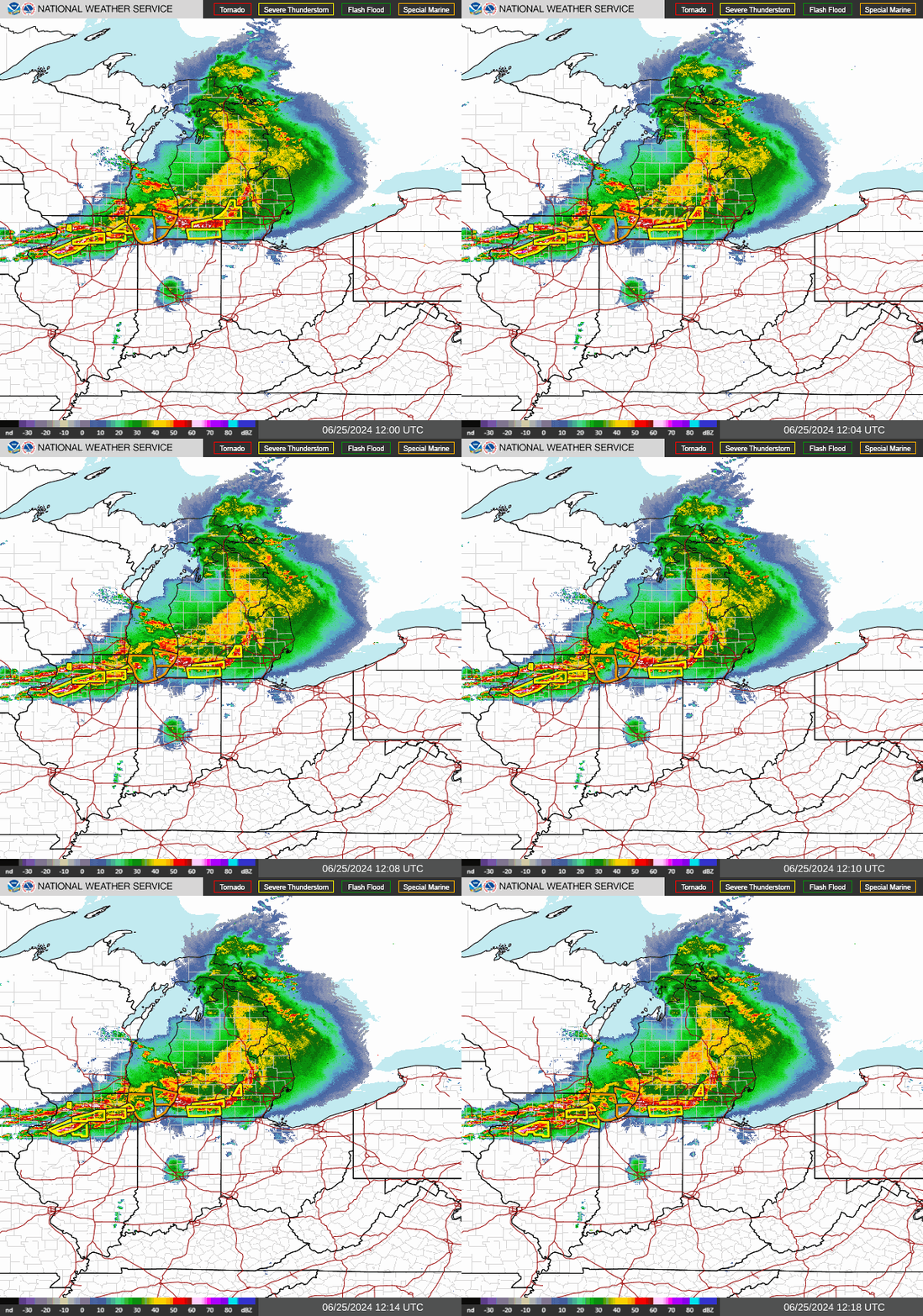
As of 8:30 a.m., the leading edge of storms is 150 miles away. Gusts between 70-80 mph were common in Michigan tjhis morning with many people losing power.
The good news is that I believe these storms will lose their “power” as they move into high pressure here in the Ohio Valley… however, many of the storms will survive the trip in, but winds will generally gust in the 30-40 m.p.h. range instead of hurricane force. CLICK HERE for the latest radar loop from Cleveland Hopkins NOAA NEXRAD.
(Loop below from the 8 a.m. hour – is not current.)
