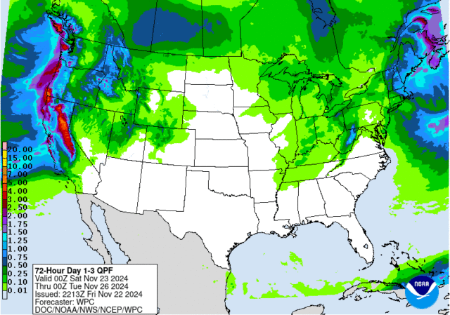
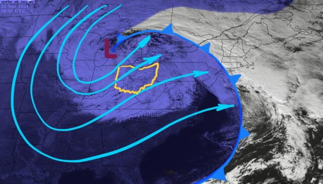
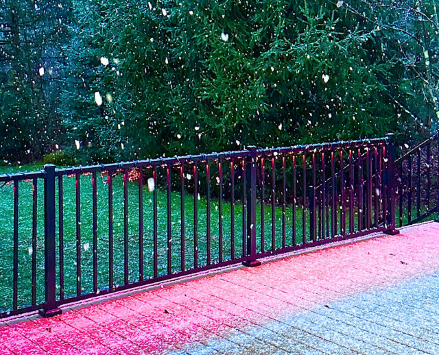
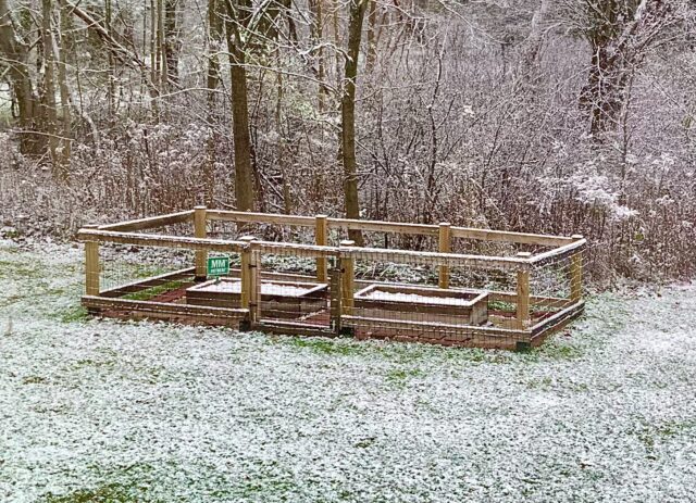
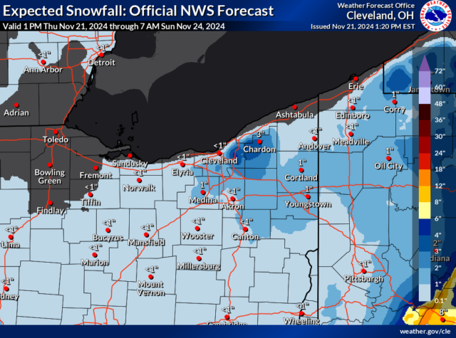
Monday, September 16
With longer nights, the atmosphere has a longer time to cool off at night. Case in point, this Ambient backyard weather station near Ravenna had an overnight low of 48°F this Monday morning!
Monday, September 16
With longer nights, the atmosphere has a longer time to cool off at night. Case in point, this Ambient backyard weather station near Ravenna had an overnight low of 48°F this Monday morning!
Sunday, September 15, 2024
A tropical system may try to put an end to a dry streak that will reach 9 days on Monday. This all depends on how much of a fight a tropical type system off the east coast puts up against a long-term high pressure system over the Ohio Valley. Stay tuned to my latest forecasts on WKJA-FM, 91.9 or online at HeartfeltRadio.org
Despite an upcoming hurricane (Francine) trying to push moisture into the Ohio Valley, notice how the blocking surface high keeps the rain at bay through the weekend. Let’s see if this futurecast “holds water.” Stay tuned!
Wednesday, September 4, 2024
This morning’s visible satellite image was a classic example of the (Connecticut) river fog that develops on clear, calm, and cold mornings.
This is what it looked like from the north end of that foggy string. This web camera is at Lyndon Institute in Lyndonville, Vermont.
Tuesday, September 3, 2024
How about that? A September morning that is actually paying attention to the calendar!
The overall pattern will feel quite autumnal in the next 10 days.
Friday, August 30
At first, I thought it was a misprint… but the dew point on the summit of Mount Washington was actually toggling back and forth UNDER zero degrees Fahrenheit!
A line of powerful thunderstorms came through earlier this afternoon. Now it’s time to pick up the pieces. The line is settling south and the most vigorous portion is now in Pennsylvania.
This will be the entry point for some less humid air as we push into mid week.
Volatile weather potential is increasing in NEOhio. A Tornado Watch has been issued in areas just to our west.
It appears as though we will start seeing the potential for severe thunderstorms anytime this Tuesday afternoon.
As of 8:30 a.m., this TVS (Tornado Vortex Signature) is showing up in SW Michigan… and it is impressive!
I’ll have regular updates at the top and bottom of every hour on Heartfelt Radio, WKJA, 912.9 FM, Barberton-Cleveland.
Friday, July 26, 2024
A perfectly timed bubble of high pressure from Canada has carved out a less humid dome right over the Ohio Valley.
It should stay in place through the weekend along with a rise in temperature heading into the weekend.
But skies may occasionally look “smokey” thanks to brush fires in Canada. Watch the flow on this morning’s visible satellite image.