Friday, June 7, 2024
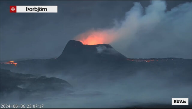
While the volume of magma has reduced, the Iceland volcano not far from Reykjavik is STILL erupting! Here’s a screen grab from midnight last night.
Friday, June 7, 2024
The air aloft it’s MUCH cooler… to the point of being “unstable,” capable of producing a plume of lake effect showers in the primary “snow belt” of NEOhio!
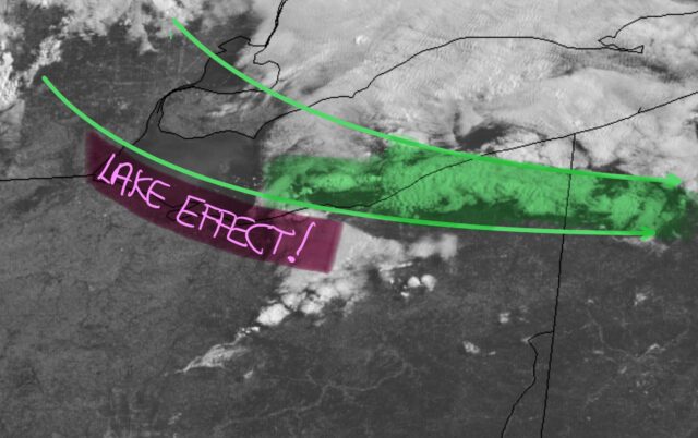
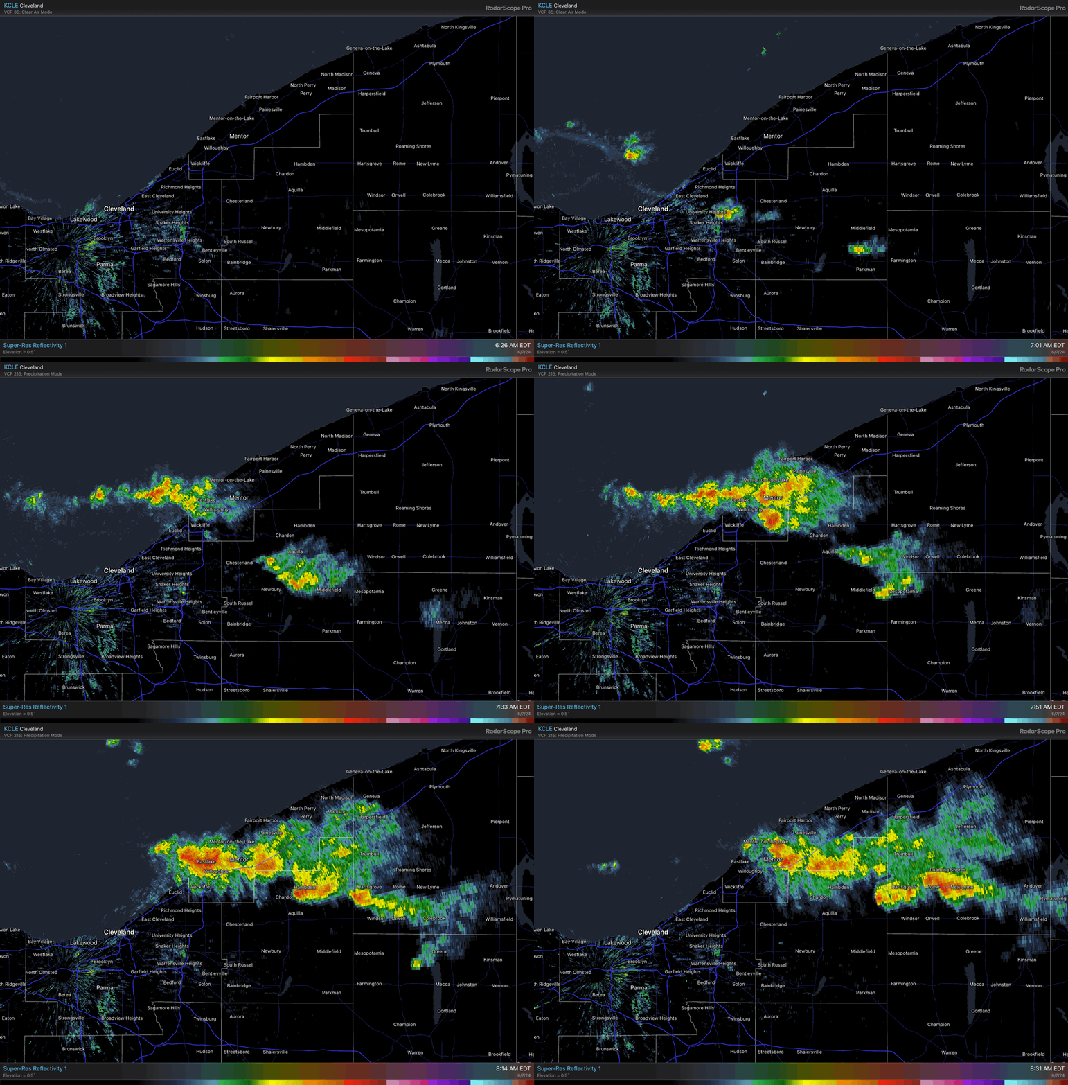
A pop-up 3-minute shower could show up anywhere, even inland, later today and the sun gets busy producing bubbles of convection.
Thursday, June 6, 2024
The humid air is moving out today….
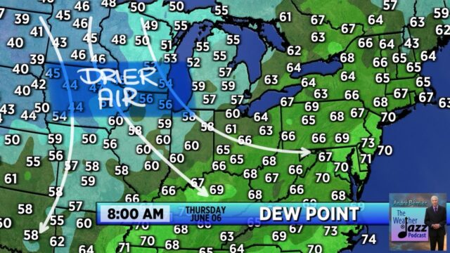
Aside from one more “reinforcing” cool front that will move through today, skies will become largely stable.
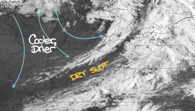
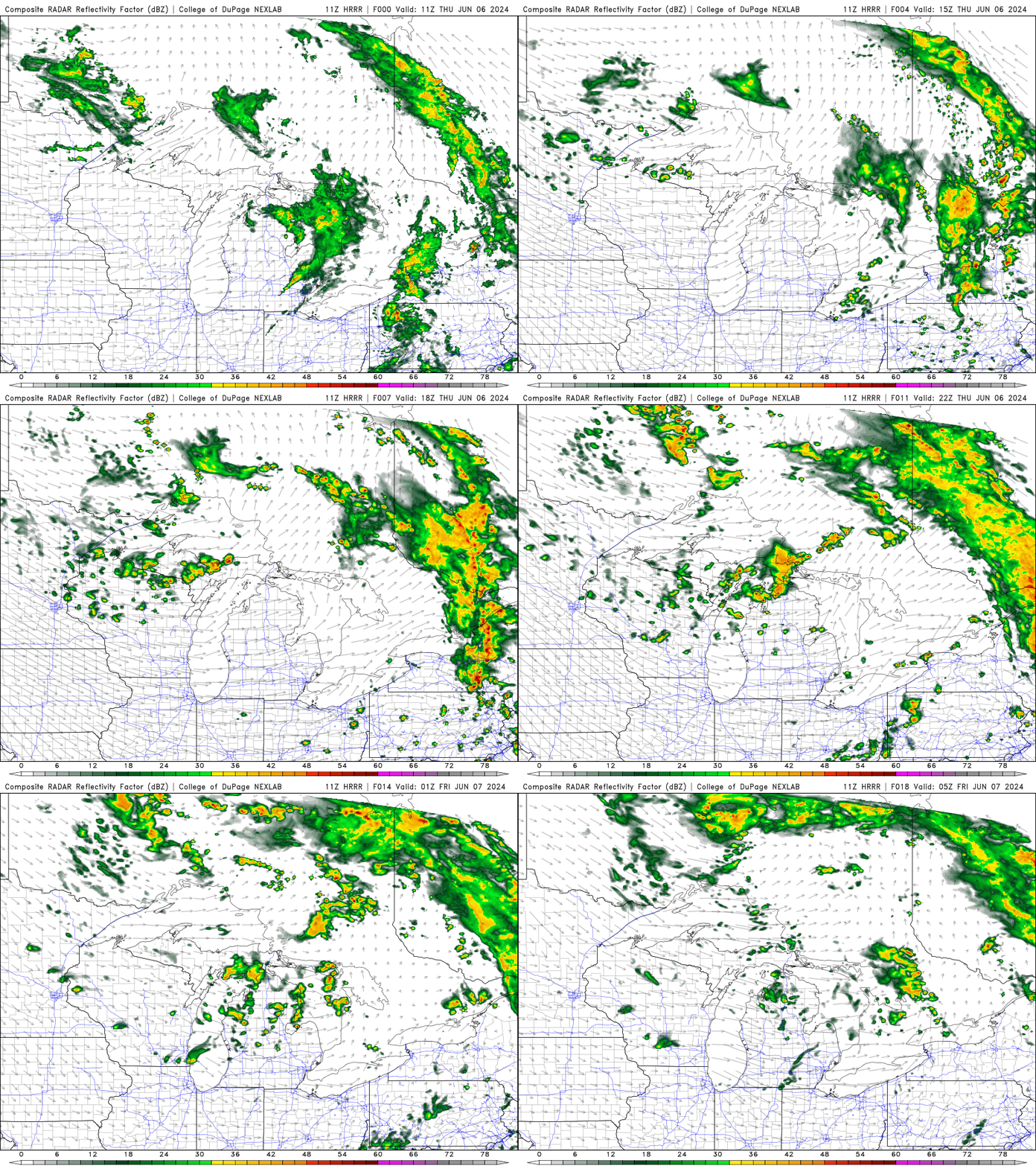
However, with the air aloft become quite cool, random “pop-up” showers are possible during each afternoon heading into the weeekend.
Wednesday, June 5, 2024
10:00 AM
The most recent model guidance indicates that the vast majority of thundery clusters and lines will approach and move through NE Ohio between 7 p.m. and midnight Wednesday.
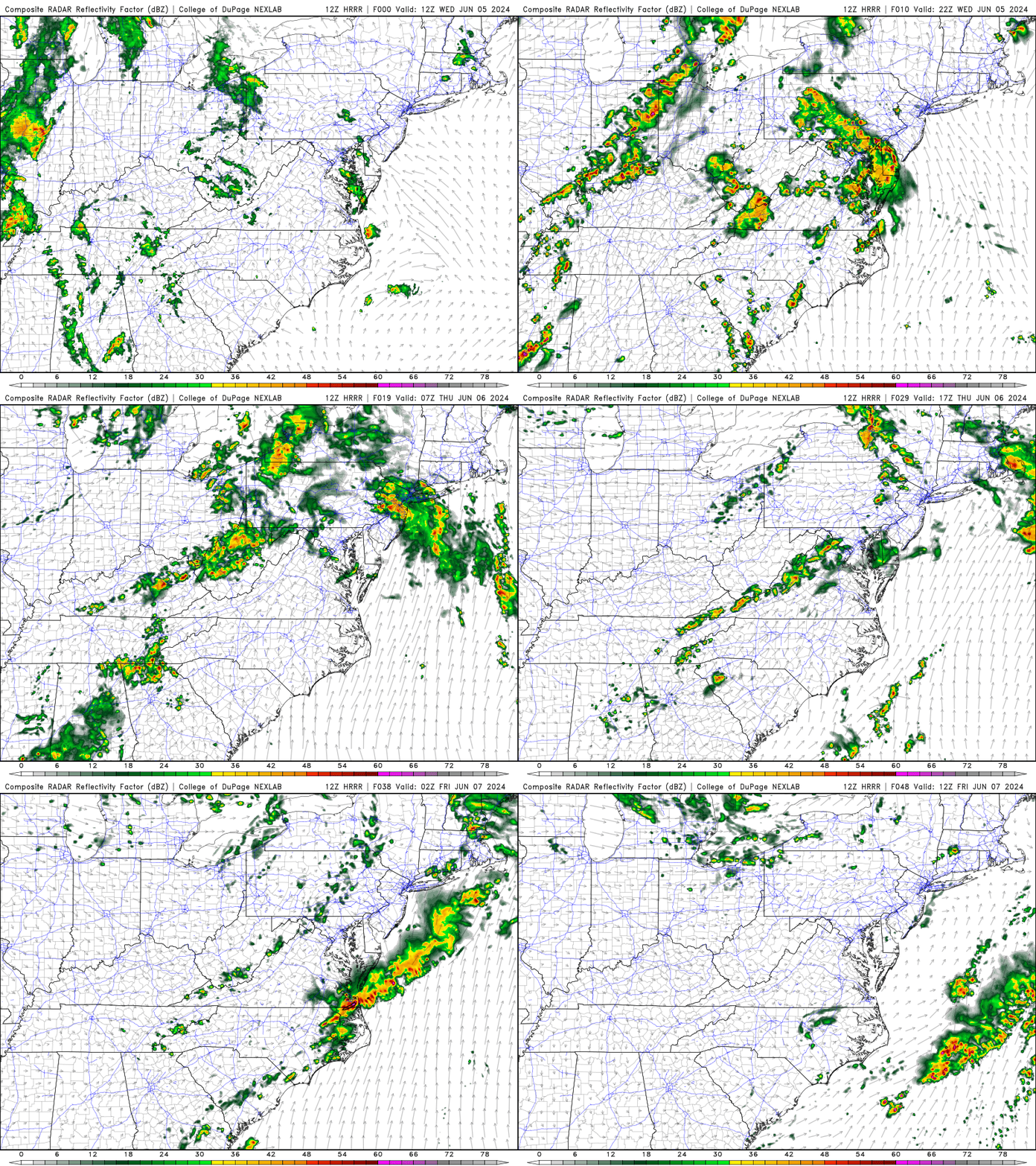
Wednesday, June 5, 2024
9:05 AM

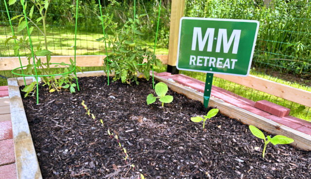
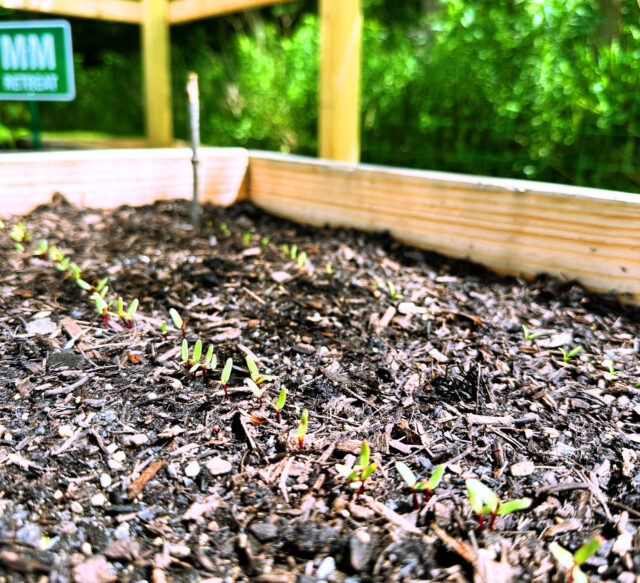
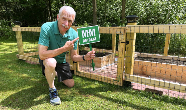
So what is in my garden? Seems to be a popular question on my Instagram account. Watch (or listen) for the answer on my Rumble channel or on today’s upcoming episode of WeatherJazz® (Episode #628).
Wednesday, June 5, 2024
9:00 AM
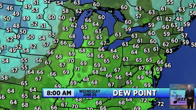
Some of the “stickiest” air (dew point 70°F+) has moved in to the Midwest this morning.
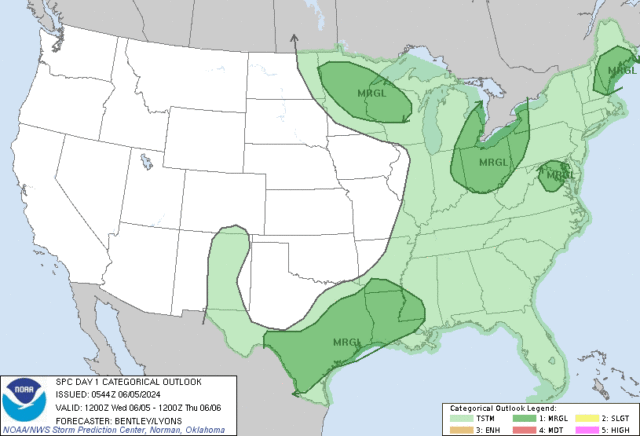
With a cold front moving in toward sunset Wednesday, thunderstorms will become more numerous toward evening. SPC has included us in a marginal risk for severe thunderstorms.
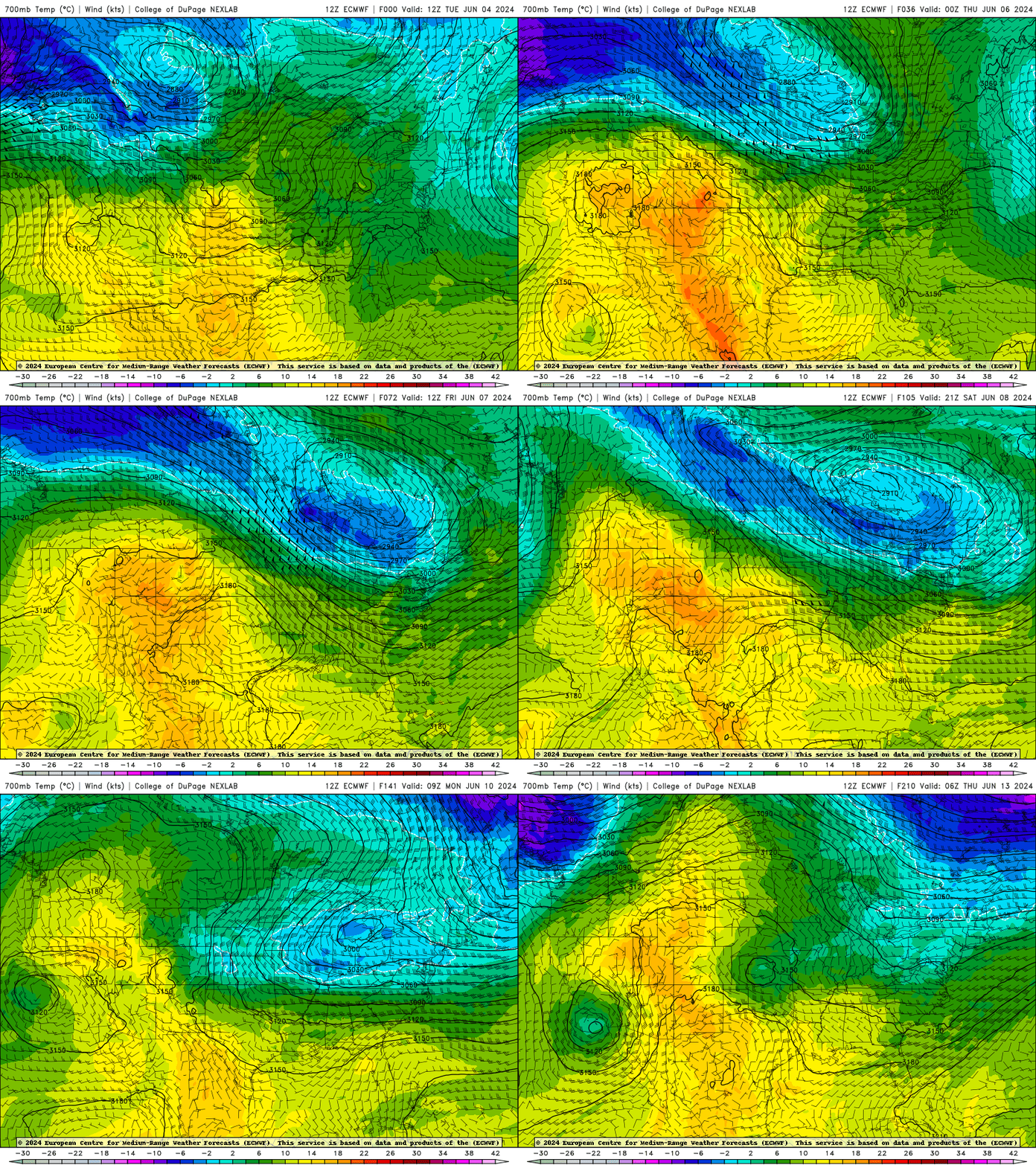
The overall pattern, however, continues to be a cool and unsettled one beyond today. Overall, this pattern seems to hang on through the middle of next week at the very least.
MM = Mile Marker
I explain that more fully in the radio segment I did this morning on Heartfelt Radio, WKJA-FM (you can watch the segment below).
