We are staying lighter, later in the evening now. Granted, it is only by 5-10 minutes, but it IS noticeable!
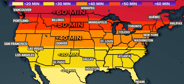
We are staying lighter, later in the evening now. Granted, it is only by 5-10 minutes, but it IS noticeable!

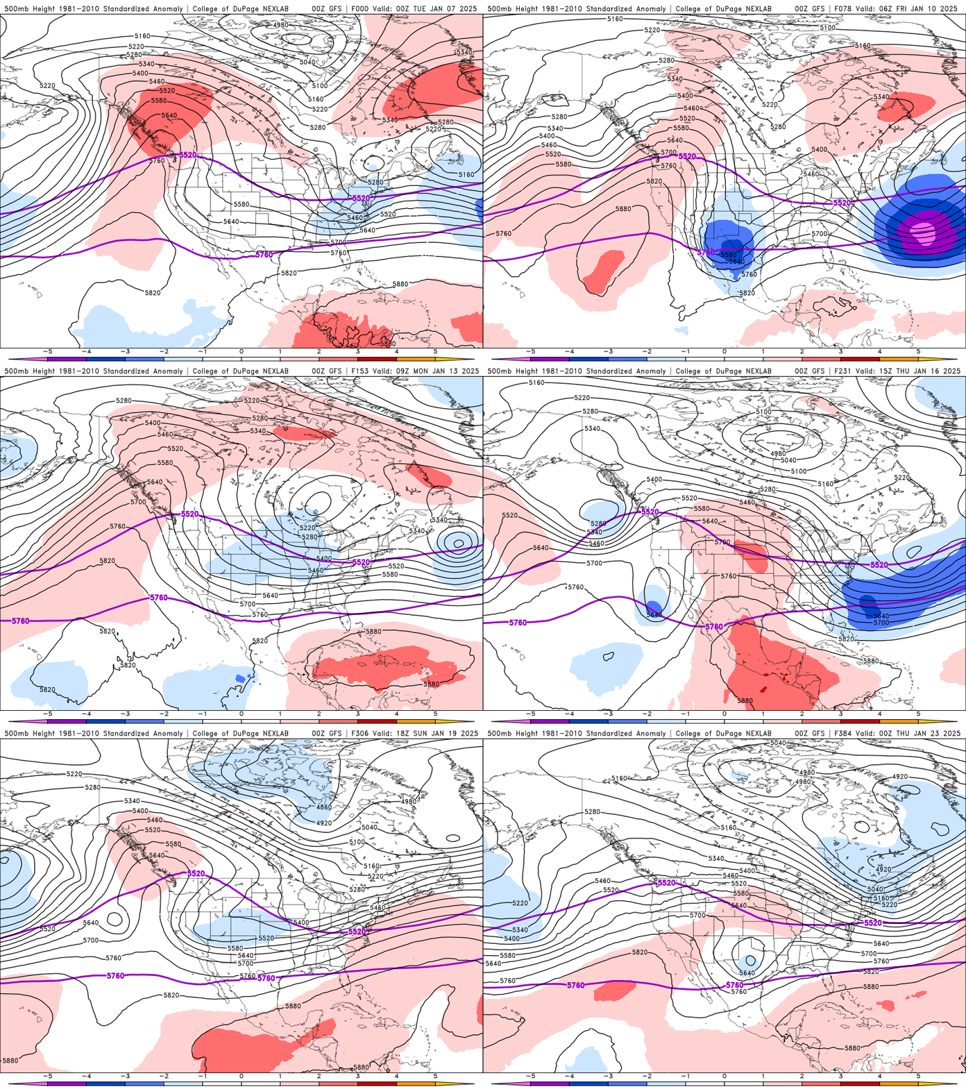
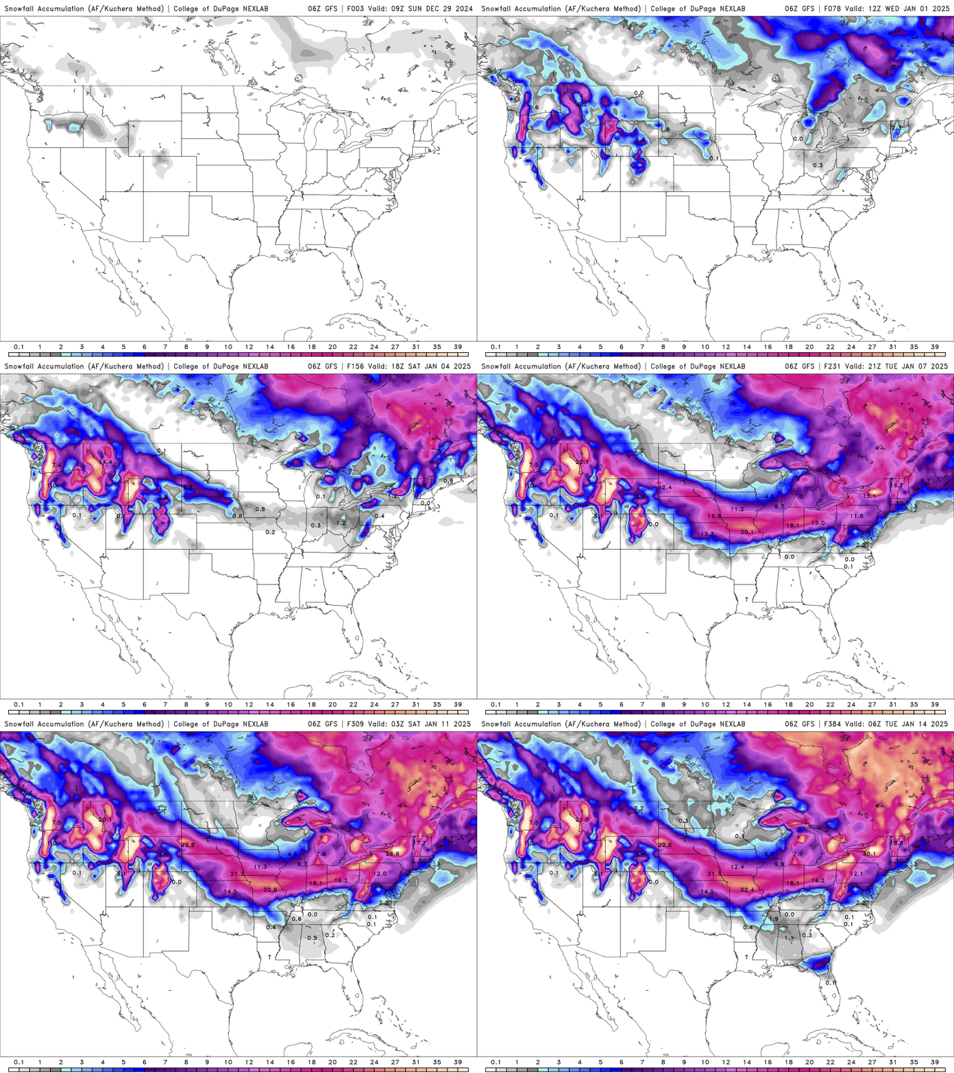
We’re going to have to go pretty deep into January to find any hint of a fundamental shift away from the persistently cold pattern. The latest GFS American long-range model shows that the general pattern is a cold one, even into the last few weeks of January.
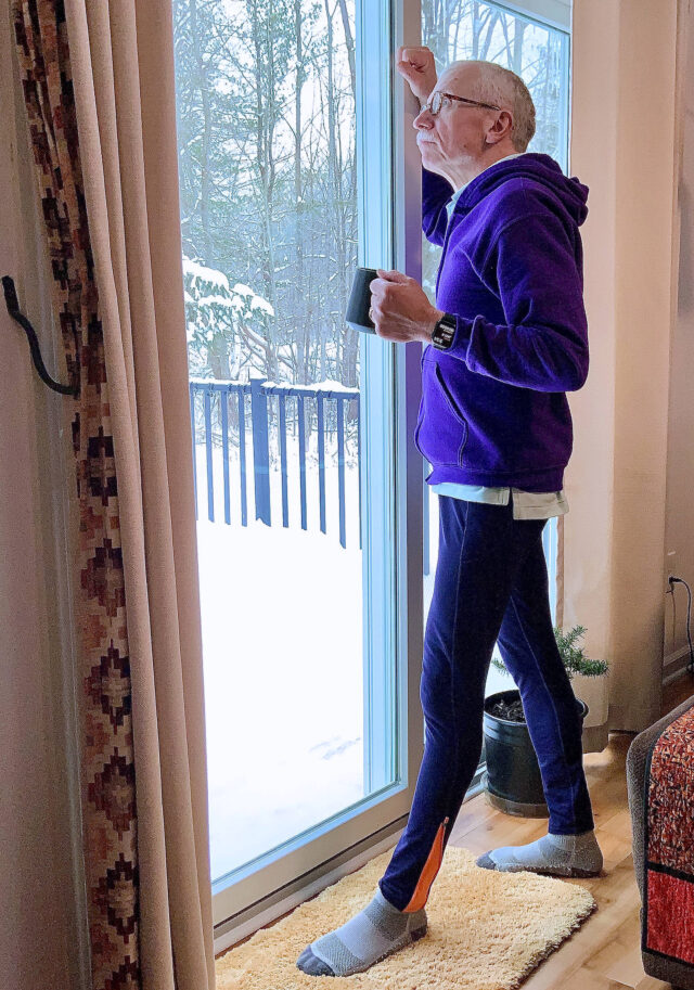
Who’s daydreaming of spring yet?
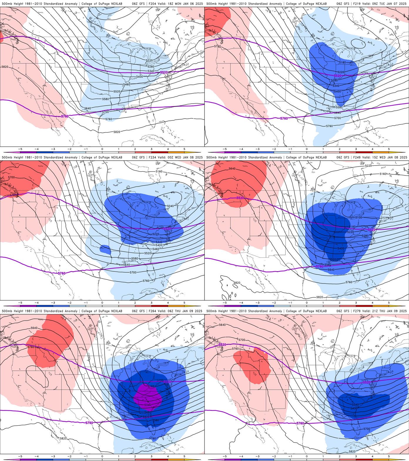
So far, the first four days of January has averaged “only” 3°F below normal, but with many more cold days ahead, that number will go much lower by mid-January.
Don’t grow accustomed to the warm air. Winter isn’t over! In fact, winter may make a brutal comeback in the first 2-3 weeks of 2025.
Tune in to Heartfelt Radio, 91.9 FM, Barberton, for up-to-the-minute forecasts 24/7/365 at the top and bottom of every hour. You can also ask Alexa: “Open Heartfelt Radio,” to tune in on Alexa, LIVE.
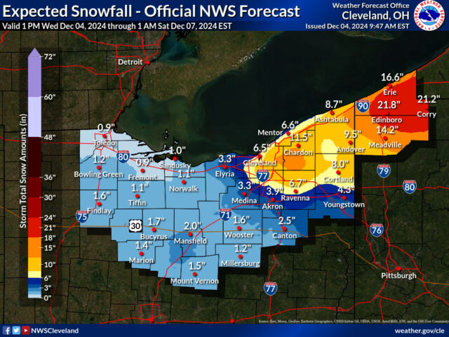
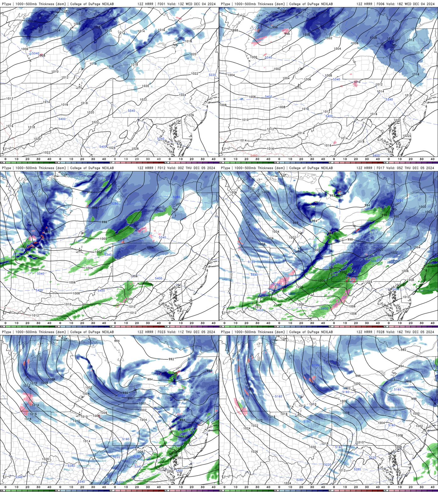
A new arctic punch will arrive, and the gateway to snow and cold will be opened at around midnight Thursday morning. The initial band will arrive with the cold front between 11 PM and midnight tonight could put down a local inch or two of snow… Followed by snow showers and blowing snow and falling temperatures as well. This batch of snow appears to be a bit more widespread in nature compared to the pure lake effect event that occurred over the weekend. Anticipate travel challenges on Thursday morning.
I plan on joining Mark Zimmerman live on Thursday morning on Heartfelt Radio, 91.9 FM, at 7:15 AM.