Category: Weather
Weather
A pseudo-zonal pattern is taking shape, but not your typical zonal pattern. This one will keep the jet stream south of the Ohio Valley keeping a steady stream of wintry systems aimed at us.
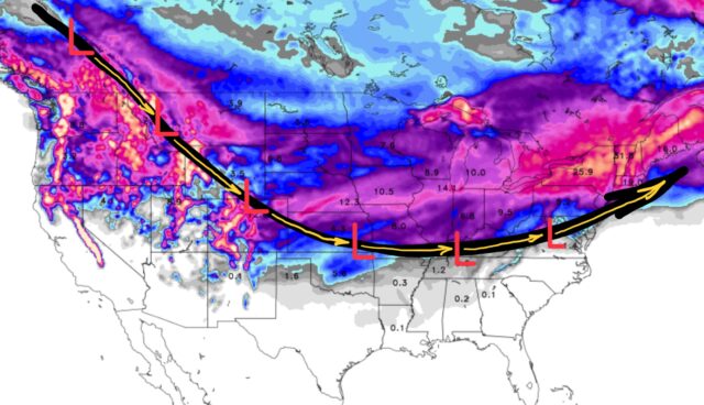
Snowfall totals for the next 10 days:
q
Weather
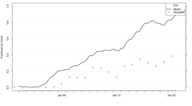
Lake Erie is almost 100% ice covered! that is truly no surprise given that we are currently averaging 8°F below normal for the month of January.
Weather
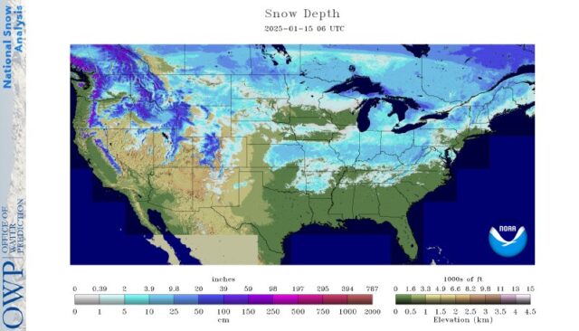
44% of the lower 48 states has at least 1” of snow on the ground. Amazing map! Look how far south the snow reaches (Arkansas, Mississippi, etc.)… yet most of Connecticut has bare ground. Fascinating.
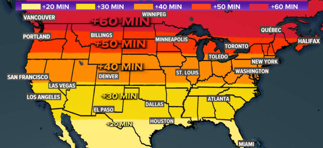
Weather
We are staying lighter, later in the evening now. Granted, it is only by 5-10 minutes, but it IS noticeable!